
Søgard topographic map
Interactive map
Click on the map to display elevation.
About this map
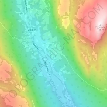
Name: Søgard topographic map, elevation, terrain.
Location: Søgard, Tylldalen, Tynset, Innlandet, 2510, Norwegen (62.08960 10.79952 62.12960 10.83952)
Average elevation: 659 m
Minimum elevation: 422 m
Maximum elevation: 1,124 m