Geolocate

Pudoc topographic map

Click on the map to display elevation.

👉 Easily get elevation data in JSON, GeoTIFF and KML formats using Elevation API
Thank you for supporting this site ❤️
Make a donation

About this map

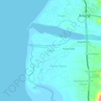
Name: Pudoc topographic map, elevation, terrain.

Location: Pudoc, Bauang, La Union, Ilocos Region, 2501, Philippines (16.49270 120.29522 16.53270 120.33522)

Average elevation: 6 m

Minimum elevation: -2 m

Maximum elevation: 74 m

Gear up for your next adventure:

🧼Clip-on Hand Sanitizer - Maintain hygiene when water for washing is scarce
🔋Solar Power Banks - Solar chargers for outdoors
📟Satellite Messengers - Two-way satellite communication to stay in touch beyond the cellular grid
🦶Orthotic Hiking Insoles - Extra arch support for long-distance topographic treks
🚁Camera Drones with GPS - Capture aerial views of the landscape to compare with topo maps

As an Amazon Associate, this site earns from qualifying purchases at no extra cost to you.