
The Tip of Borneo topographic map
Interactive map
Click on the map to display elevation.
About this map
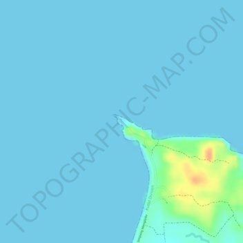
Name: The Tip of Borneo topographic map, elevation, terrain.
Location: The Tip of Borneo, Kudat, Kudat Division, Sabah, Malaysia (7.03667 116.74242 7.03677 116.74252)
Average elevation: 3 m
Minimum elevation: 0 m
Maximum elevation: 38 m
Other topographic maps
Click on a map to view its topography, its elevation and its terrain.
Kg. Tinangol
Kg. Tinangol, Kudat, Kudat Division, Sabah, Malaysia
Average elevation: 75 m
Banggi Island
Banggi Island, Kudat, Kudat Division, Sabah, Malaysia
Average elevation: 21 m