
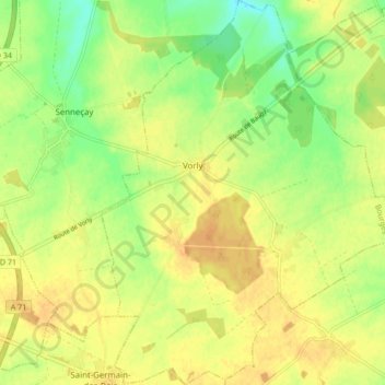
Vorly topographic map
Interactive map
Click on the map to display elevation.
About this map
Name: Vorly topographic map, elevation, terrain.
Average elevation: 174 m
Minimum elevation: 156 m
Maximum elevation: 186 m
Other topographic maps
Click on a map to view its topography, its elevation and its terrain.
Blancafort
France > Centre-Val de Loire > Cher
Blancafort, Vierzon, Cher, Centre-Val de Loire, France métropolitaine, 18410, France
Average elevation: 203 m
Parassy
France > Centre-Val de Loire > Cher
Parassy, Bourges, Cher, Centre-Val de Loire, France métropolitaine, 18220, France
Average elevation: 240 m
Quantilly
France > Centre-Val de Loire > Cher > Quantilly
Quantilly, Bourges, Cher, Centre-Val de Loire, France métropolitaine, 18110, France
Average elevation: 217 m