
Pine River Township topographic map
Interactive map
Click on the map to display elevation.
About this map
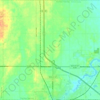
Name: Pine River Township topographic map, elevation, terrain.
Location: Pine River Township, Gratiot County, Michigan, United States (43.37877 -84.72673 43.46624 -84.60709)
Average elevation: 233 m
Minimum elevation: 219 m
Maximum elevation: 254 m