
Hayward topographic map
Interactive map
Click on the map to display elevation.
About this map
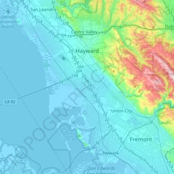
Name: Hayward topographic map, elevation, terrain.
Location: Hayward, Alameda County, Californië, VS (37.54834 -122.21914 37.68994 -121.92040)
Average elevation: 77 m
Minimum elevation: -5 m
Maximum elevation: 598 m