
Ghiare topographic map
Interactive map
Click on the map to display elevation.
About this map
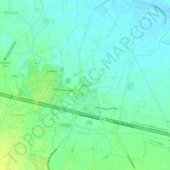
Name: Ghiare topographic map, elevation, terrain.
Location: Ghiare, Fontanellato, Parma, Emilia-Romagna, 43012, Italia (44.86116 10.16515 44.90116 10.20515)
Average elevation: 44 m
Minimum elevation: 37 m
Maximum elevation: 57 m