
榮光里 topographic map
Interactive map
Click on the map to display elevation.
About this map
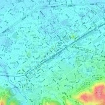
Name: 榮光里 topographic map, elevation, terrain.
Location: 榮光里, 東區, Hsinchu, Taïwan (24.80020 120.96939 24.80448 120.97426)
Average elevation: 34 m
Minimum elevation: 17 m
Maximum elevation: 112 m