
Tropic topographic map
Interactive map
Click on the map to display elevation.
About this map
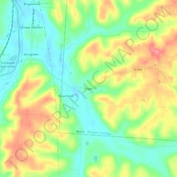
Name: Tropic topographic map, elevation, terrain.
Location: Tropic, Morgan County, Ohio, 43731, VS (39.71757 -82.09125 39.75757 -82.05125)
Average elevation: 266 m
Minimum elevation: 225 m
Maximum elevation: 318 m