
Las Brisas topographic map
Interactive map
Click on the map to display elevation.
About this map
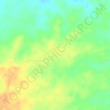
Name: Las Brisas topographic map, elevation, terrain.
Average elevation: 121 m
Minimum elevation: 100 m
Maximum elevation: 138 m
Other topographic maps
Click on a map to view its topography, its elevation and its terrain.
Parroquia Ipire
Venezuela > Estado Guárico > Municipio Ipire
Parroquia Ipire, Municipio Ipire, Estado Guárico, Venezuela
Average elevation: 117 m