
スラートターニー topographic map
Interactive map
Click on the map to display elevation.
About this map
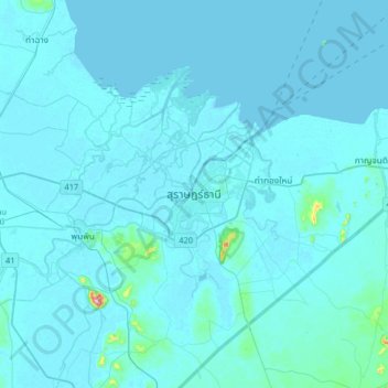
Name: スラートターニー topographic map, elevation, terrain.
Location: スラートターニー, วัดประดู่, スラートターニー県, 84000, タイ王国 (8.98041 99.16413 9.30041 99.48413)
Average elevation: 10 m
Minimum elevation: -1 m
Maximum elevation: 286 m