
Luana topographic map
Interactive map
Click on the map to display elevation.
About this map
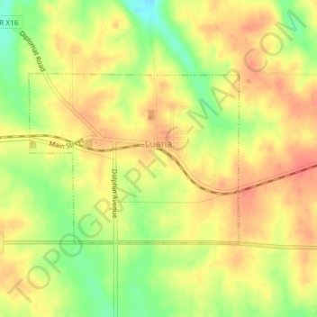
Name: Luana topographic map, elevation, terrain.
Average elevation: 335 m
Minimum elevation: 302 m
Maximum elevation: 355 m
Other topographic maps
Click on a map to view its topography, its elevation and its terrain.
Clayton County
Estados Unidos da América > Iowa > Clayton County
Clayton County, Iowa, Estados Unidos da América
Average elevation: 304 m