
Lerwick topographic map
Interactive map
Click on the map to display elevation.
About this map
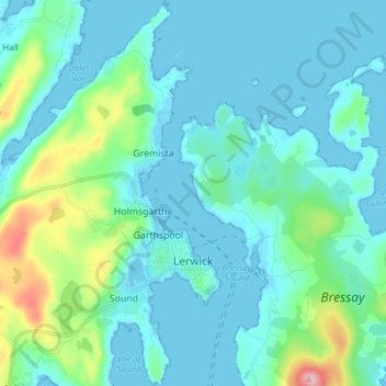
Name: Lerwick topographic map, elevation, terrain.
Location: Lerwick, Shetlandeilanden, Schotland, Verenigd Koninkrijk (60.12851 -1.21367 60.20441 -1.13170)
Average elevation: 34 m
Minimum elevation: -9 m
Maximum elevation: 225 m