
Winthrop topographic map
Click on the map to display elevation.
About this map
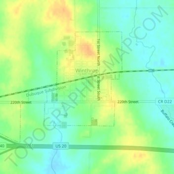
Name: Winthrop topographic map, elevation, terrain.
Location: Winthrop, Buchanan County, Iowa, United States (42.46210 -91.75631 42.47935 -91.72697)
Average elevation: 315 m
Minimum elevation: 301 m
Maximum elevation: 332 m