
郁江 topographic map
Interactive map
Click on the map to display elevation.
About this map
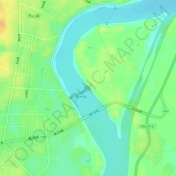
Name: 郁江 topographic map, elevation, terrain.
Location: 郁江, 马骝滩水电站, 桂平市, 贵港市, 广西壮族自治区, 中国 (23.37895 110.08039 23.37952 110.08074)
Average elevation: 41 m
Minimum elevation: 25 m
Maximum elevation: 60 m
Other topographic maps
Click on a map to view its topography, its elevation and its terrain.