
Majhakot topographic map
Interactive map
Click on the map to display elevation.
About this map
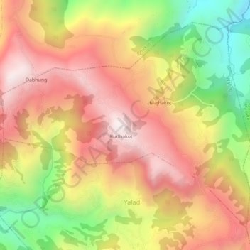
Name: Majhakot topographic map, elevation, terrain.
Location: Majhakot, Waling, Syangja, Gandaki Pradesh, Nepal (27.98800 83.81765 28.01949 83.86094)
Average elevation: 1,242 m
Minimum elevation: 673 m
Maximum elevation: 1,677 m