
五源河 topographic map
Interactive map
Click on the map to display elevation.
About this map
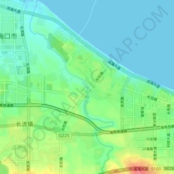
Name: 五源河 topographic map, elevation, terrain.
Location: 五源河, 秀英区, 海口市, 海南省, 中国 (19.99628 110.20430 20.05890 110.23634)
Average elevation: 16 m
Minimum elevation: 0 m
Maximum elevation: 63 m