Geolocate

Malua topographic map

Click on the map to display elevation.

About this map
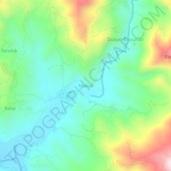
Name: Malua topographic map, elevation, terrain.

Location: Malua, Enrekang, South Sulawesi, Sulawesi, 91753, Indonesia (-3.40214 119.84986 -3.36214 119.88986)

Average elevation: 589 m

Minimum elevation: 434 m

Maximum elevation: 934 m

Gear up for your next adventure:

🔥Camping Stoves - Portable stoves for outdoor cooking
🎧Bluetooth Outdoor Earbuds - Listen to navigation cues or podcasts during long solo treks
🔦Headlamps - Hands-free lighting for hiking
📱Tablet Tripod Mounts - Steady platforms for viewing digital maps or taking long exposures
🆘Personal Locator Beacons (PLB) - Satellite emergency beacons for life-saving help in areas with no mobile coverage

As an Amazon Associate, this site earns from qualifying purchases at no extra cost to you.