
桂林洋 topographic map
Interactive map
Click on the map to display elevation.
About this map
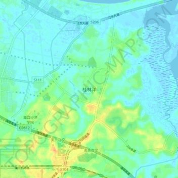
Name: 桂林洋 topographic map, elevation, terrain.
Location: 桂林洋, 海口市, 海南省, 中国 (19.93916 110.47105 20.01916 110.55105)
Average elevation: 9 m
Minimum elevation: -3 m
Maximum elevation: 34 m
Other topographic maps
Click on a map to view its topography, its elevation and its terrain.