
El Retiro topographic map
Interactive map
Click on the map to display elevation.
About this map
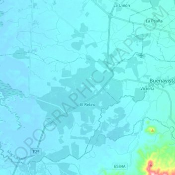
Name: El Retiro topographic map, elevation, terrain.
Location: El Retiro, Machala, El Oro, Ecuador (-3.43564 -80.03571 -3.30238 -79.88372)
Average elevation: 13 m
Minimum elevation: -2 m
Maximum elevation: 314 m