
Keria topographic map
Interactive map
Click on the map to display elevation.
About this map
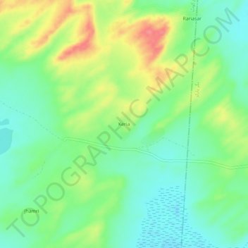
Name: Keria topographic map, elevation, terrain.
Location: Keria, Tharparkar District, Sindh, Pakistan (24.45610 70.53880 24.49610 70.57880)
Average elevation: 28 m
Minimum elevation: 1 m
Maximum elevation: 72 m