
Stangerode topographic map
Interactive map
Click on the map to display elevation.
About this map
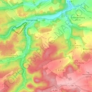
Name: Stangerode topographic map, elevation, terrain.
Average elevation: 266 m
Minimum elevation: 181 m
Maximum elevation: 337 m
Other topographic maps
Click on a map to view its topography, its elevation and its terrain.
Ulzigerode
Deutschland > Sachsen-Anhalt > Arnstein > Ulzigerode
Ulzigerode, Arnstein, Mansfeld-Südharz, Sachsen-Anhalt, Deutschland
Average elevation: 235 m