
Potosí topographic map
Interactive map
Click on the map to display elevation.
About this map
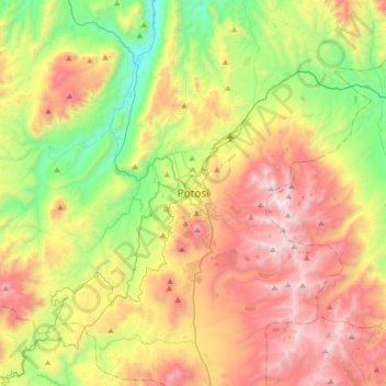
Name: Potosí topographic map, elevation, terrain.
Location: Potosí, Provincia Tomás Frías, Potosí, 39, Bolivia (-19.74931 -65.91348 -19.42931 -65.59348)
Average elevation: 4,054 m
Minimum elevation: 3,300 m
Maximum elevation: 5,016 m