
Ingber topographic map
Interactive map
Click on the map to display elevation.
About this map
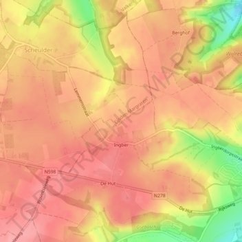
Name: Ingber topographic map, elevation, terrain.
Location: Ingber, Gulpen-Wittem, Limburg, Nederland (50.80786 5.84250 50.83403 5.88704)
Average elevation: 162 m
Minimum elevation: 95 m
Maximum elevation: 188 m