
Saint-Alby topographic map
Interactive map
Click on the map to display elevation.
About this map
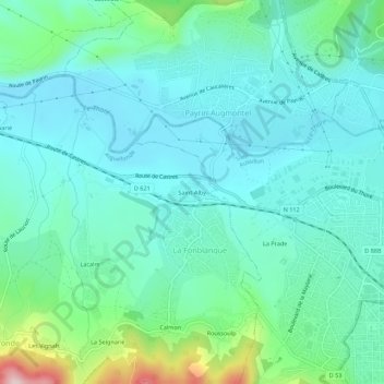
Name: Saint-Alby topographic map, elevation, terrain.
Average elevation: 254 m
Minimum elevation: 190 m
Maximum elevation: 508 m
Other topographic maps
Click on a map to view its topography, its elevation and its terrain.
Calmon
France > Occitanie > Tarn > La Fonblanque
Calmon, La Fonblanque, Aiguefonde, Castres, Tarn, Occitanie, France métropolitaine, 81200, France
Average elevation: 369 m