
Tweed River topographic map
Interactive map
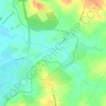
Click on the map to display elevation.
About this map
Name: Tweed River topographic map, elevation, terrain.
Average elevation: 98 m
Minimum elevation: 83 m
Maximum elevation: 121 m
Other topographic maps
Click on a map to view its topography, its elevation and its terrain.
Stoke Golding
United Kingdom > England > Hinckley and Bosworth
Stoke Golding, Hinckley and Bosworth, Leicestershire, East Midlands, England, United Kingdom
Average elevation: 102 m
Markfield
United Kingdom > England > Hinckley and Bosworth
Markfield, Hinckley and Bosworth, Leicestershire, East Midlands, England, United Kingdom
Average elevation: 173 m