
Everest Camp de base topographic map
Interactive map
Click on the map to display elevation.
About this map
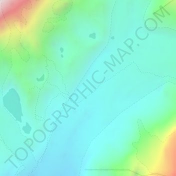
Name: Everest Camp de base topographic map, elevation, terrain.
Average elevation: 5,425 m
Minimum elevation: 5,168 m
Maximum elevation: 6,443 m
Other topographic maps
Click on a map to view its topography, its elevation and its terrain.
珠穆朗玛峰/सगरमाथा
Chine > Tibet > 曲当乡 > Khumjung
珠穆朗玛峰/सगरमाथा, 曲当乡, དིང་རི་རྫོང་ 定日县, གཞིས་ཀ་རྩེ་ས་ཁུལ་日喀则市, Tibet, Chine
Average elevation: 7,839 m