
Mahana topographic map
Interactive map
Click on the map to display elevation.
About this map
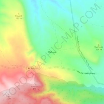
Name: Mahana topographic map, elevation, terrain.
Location: Mahana, Maui County, Hawaii, USA (21.13389 -157.16833 21.17389 -157.12833)
Average elevation: 221 m
Minimum elevation: 69 m
Maximum elevation: 436 m