
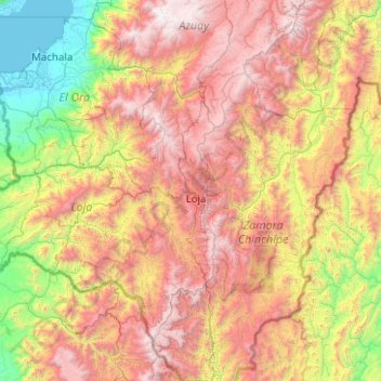
Falla-LA BANDA ALTO topographic map
Interactive map
Click on the map to display elevation.
About this map
Name: Falla-LA BANDA ALTO topographic map, elevation, terrain.
Location: Falla-LA BANDA ALTO, Loja, 110107, Équateur (-4.96053 -80.22685 -2.96053 -78.22685)
Average elevation: 1,537 m
Minimum elevation: -2 m
Maximum elevation: 4,092 m