
Mayapur topographic map
Interactive map
Click on the map to display elevation.
About this map
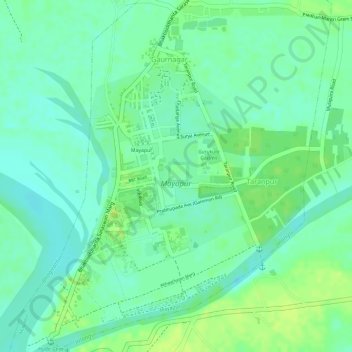
Name: Mayapur topographic map, elevation, terrain.
Average elevation: 10 m
Minimum elevation: 2 m
Maximum elevation: 17 m
Mayapur liegt im Mündungsdreieck zwischen Jalangi und Hugli in einer Höhe von ca. 14 m ü. d. M. Die Städte Nabadwip und Krishnanagar sind jeweils nur wenige Kilometer entfernt; die Millionenmetropole Kalkutta befindet sich ca. 130 km (Fahrtstrecke) südlich.