
Achaguas topographic map
Interactive map
Click on the map to display elevation.
About this map
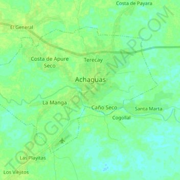
Name: Achaguas topographic map, elevation, terrain.
Average elevation: 56 m
Minimum elevation: 51 m
Maximum elevation: 62 m
Other topographic maps
Click on a map to view its topography, its elevation and its terrain.
Hato Caño Amarillo
Venezuela > Estado Apure > Municipio Achaguas
Hato Caño Amarillo, Parroquia Guachara, Municipio Achaguas, Estado Apure, Venezuela
Average elevation: 65 m