Geolocate

Sun Valley topographic map

Click on the map to display elevation.

About this map

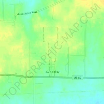
Name: Sun Valley topographic map, elevation, terrain.

Location: Sun Valley, Lamar County, Texas, United States (33.66315 -95.43121 33.67612 -95.42687)

Average elevation: 166 m

Minimum elevation: 154 m

Maximum elevation: 177 m

Gear up for your next adventure:

🥶Thermal Beanies - Warm hats for cold hikes
🏃Compression Recovery Socks - Reduce leg fatigue after heavy days of elevation gain
🪫Rechargeable Headlamps - USB rechargeable headlamps
📡Weather Radios - Emergency weather radios
🔋Rechargeable Batteries - Eco-friendly power for high-drain GPS units and flashlights

As an Amazon Associate, this site earns from qualifying purchases at no extra cost to you.