
Upper Sumas Pioneer Park topographic map
Interactive map
Click on the map to display elevation.
About this map
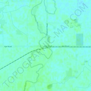
Name: Upper Sumas Pioneer Park topographic map, elevation, terrain.
Average elevation: 7 m
Minimum elevation: 4 m
Maximum elevation: 11 m
Other topographic maps
Click on a map to view its topography, its elevation and its terrain.
Abbotsford
Canada > British Columbia > Fraser Valley Regional District > Abbotsford
Average elevation: 115 m