
Zamora topographic map
Interactive map
Click on the map to display elevation.
About this map
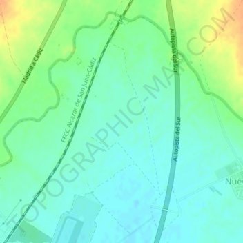
Name: Zamora topographic map, elevation, terrain.
Location: Zamora, Jerez de la Frontera, Cádiz, Andalusien, Spanien (36.75530 -6.05969 36.77530 -6.03969)
Average elevation: 36 m
Minimum elevation: 25 m
Maximum elevation: 58 m
Other topographic maps
Click on a map to view its topography, its elevation and its terrain.
Jerez de la Frontera
Spanien > Andalusien > Jerez de la Frontera
Jerez de la Frontera, Cádiz, Andalusien, Spanien
Average elevation: 44 m