
Eynatten topographic map
Interactive map
Click on the map to display elevation.
About this map
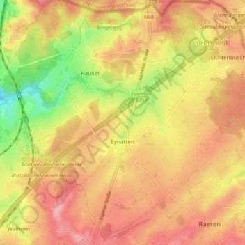
Name: Eynatten topographic map, elevation, terrain.
Location: Eynatten, Raeren, Verviers, Luik, Wallonië, 4731, België (50.67171 6.05325 50.72351 6.13141)
Average elevation: 275 m
Minimum elevation: 208 m
Maximum elevation: 317 m
Eynatten ligt op een hoogte van 272 meter.
Other topographic maps
Click on a map to view its topography, its elevation and its terrain.