
Аксуат topographic map
Interactive map
Click on the map to display elevation.
About this map
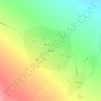
Name: Аксуат topographic map, elevation, terrain.
Location: Аксуат, Аксуатский район, Абайская область, 071500, Казахстан (47.72200 82.76614 47.80200 82.84614)
Average elevation: 546 m
Minimum elevation: 508 m
Maximum elevation: 594 m
Other topographic maps
Click on a map to view its topography, its elevation and its terrain.
Аксуат
Казахстан > Абайская область > Аксуатский район
Аксуат, Аксуатский район, Абайская область, 071500, Казахстан
Average elevation: 545 m