
阳泉曲镇 topographic map
Interactive map
Click on the map to display elevation.
About this map
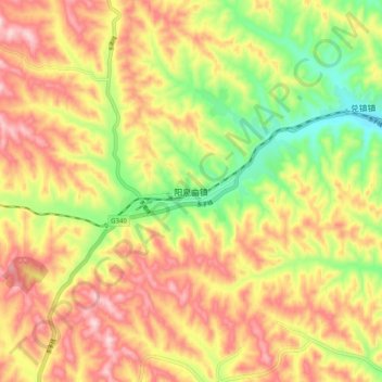
Name: 阳泉曲镇 topographic map, elevation, terrain.
Location: 阳泉曲镇, 孝义市, 吕梁市, 山西省, 中国 (37.03544 111.51179 37.11544 111.59179)
Average elevation: 1,045 m
Minimum elevation: 890 m
Maximum elevation: 1,184 m