
Lublin County topographic map
Interactive map
Click on the map to display elevation.
About this map
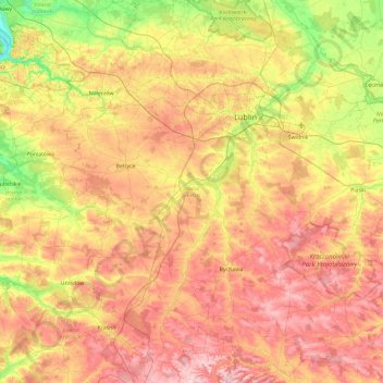
Name: Lublin County topographic map, elevation, terrain.
Location: Lublin County, Lublin Voivodeship, Poland (50.83838 22.11961 51.43000 22.81361)
Average elevation: 214 m
Minimum elevation: 115 m
Maximum elevation: 316 m