
Stony Creek topographic map
Interactive map
Click on the map to display elevation.
About this map
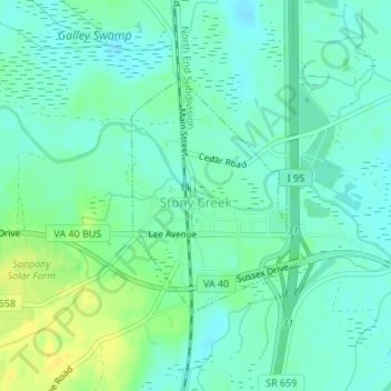
Name: Stony Creek topographic map, elevation, terrain.
Location: Stony Creek, Sussex County, Virginia, United States (36.94030 -77.40639 36.95648 -77.39134)
Average elevation: 24 m
Minimum elevation: 16 m
Maximum elevation: 39 m