
Lake Coleman topographic map
Interactive map
Click on the map to display elevation.
About this map
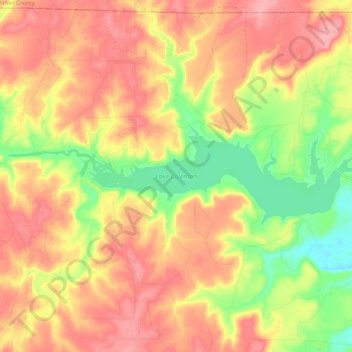
Name: Lake Coleman topographic map, elevation, terrain.
Location: Lake Coleman, Coleman County, Texas, United States (32.02468 -99.56588 32.05030 -99.45789)
Average elevation: 561 m
Minimum elevation: 501 m
Maximum elevation: 602 m