
Oldsmar topographic map
Click on the map to display elevation.
Oldsmar
In 1921, a hurricane hit Tampa Bay. Because Oldsmar sits on a plateau with an elevation never rising over 20 feet (6.1 m) above sea level, it was devastated by the storm. Large trees were uprooted and floodwater reached levels 14 feet (4.3 m) above normal. Some of the homes that survived the storm were moved, by barge, to St. Petersburg in the following two decades.
About this map
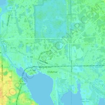
Name: Oldsmar topographic map, elevation, terrain.
Location: Oldsmar, Pinellas County, Florida, United States (28.00847 -82.71044 28.08956 -82.64850)
Average elevation: 6 m
Minimum elevation: -3 m
Maximum elevation: 23 m
Other topographic maps
Click on a map to view its topography, its elevation and its terrain.