
Osterhagen topographic map
Interactive map
Click on the map to display elevation.
About this map
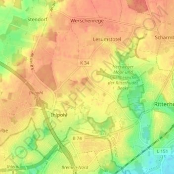
Name: Osterhagen topographic map, elevation, terrain.
Average elevation: 29 m
Minimum elevation: 0 m
Maximum elevation: 45 m
Other topographic maps
Click on a map to view its topography, its elevation and its terrain.
Großenhalm
Deutschland > Niedersachsen > Landkreis Osterholz > Ritterhude > Ihlpohl
Großenhalm, Ihlpohl, Ritterhude, Landkreis Osterholz, Niedersachsen, 28717, Deutschland
Average elevation: 23 m