
Vriesdonk topographic map
Interactive map
Click on the map to display elevation.
About this map
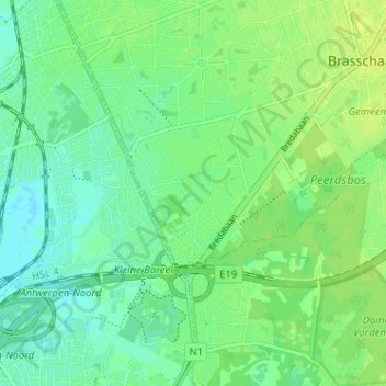
Name: Vriesdonk topographic map, elevation, terrain.
Location: Vriesdonk, Brasschaat, Antwerpen, Vlaanderen, 2930, België (51.25632 4.44374 51.29632 4.48374)
Average elevation: 7 m
Minimum elevation: -1 m
Maximum elevation: 13 m
Other topographic maps
Click on a map to view its topography, its elevation and its terrain.
Bethanië
België > Antwerpen > Antwerpen > Brasschaat > Maria-ter-Heide
Bethanië, Maria-ter-Heide, Brasschaat, Antwerpen, Vlaanderen, 2930, België
Average elevation: 16 m