
El Adjiba topographic map
Interactive map
Click on the map to display elevation.
About this map
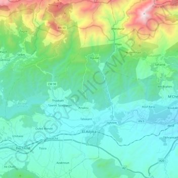
Name: El Adjiba topographic map, elevation, terrain.
Location: El Adjiba, Daïra Bechloul, Bouira, Algérie (36.28157 4.11138 36.46250 4.19217)
Average elevation: 720 m
Minimum elevation: 310 m
Maximum elevation: 2,281 m