
Rosenberg topographic map
Interactive map
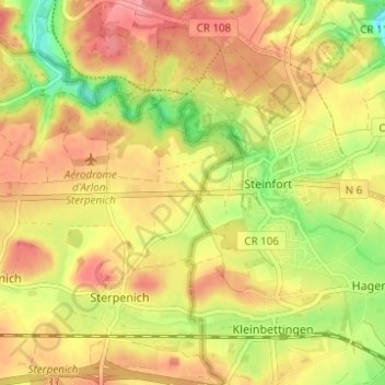
Click on the map to display elevation.
About this map
Name: Rosenberg topographic map, elevation, terrain.
Location: Rosenberg, Arlon, Luxembourg, Wallonie, 6700, Belgique (49.63883 5.88269 49.67883 5.92269)
Average elevation: 326 m
Minimum elevation: 271 m
Maximum elevation: 366 m