
Yajalón topographic map
Interactive map
Click on the map to display elevation.
About this map
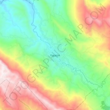
Name: Yajalón topographic map, elevation, terrain.
Location: Yajalón, Chiapas, México (17.13243 -92.37330 17.21243 -92.29330)
Average elevation: 1,167 m
Minimum elevation: 703 m
Maximum elevation: 1,857 m