Geolocate

Victor topographic map

Click on the map to display elevation.

About this map

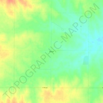
Name: Victor topographic map, elevation, terrain.

Location: Victor, Mitchell County, Kansas, United States (39.22806 -98.30395 39.26806 -98.26395)

Average elevation: 460 m

Minimum elevation: 439 m

Maximum elevation: 485 m

Other topographic maps

Click on a map to view its topography, its elevation and its terrain.

Beloit

United States > Kansas > Mitchell County

Average elevation: 432 m

Simpson

United States > Kansas > Mitchell County

Average elevation: 407 m

Cawker City

United States > Kansas > Mitchell County

Average elevation: 454 m

Hunter

United States > Kansas > Mitchell County

Average elevation: 495 m

Gear up for your next adventure:

📡Satellite Messengers - Emergency communication devices
👕UPF 50+ Sun Shirts - Essential protection against the harsh Australian sun during field work
📕Australia Maps - Maps covering Australian regions
📸Action Cameras - Record your journey across interesting topographic features in 4K
🧭Military Style Lensatic Compass - Durable sighting compasses for advanced land navigation and surveying

As an Amazon Associate, this site earns from qualifying purchases at no extra cost to you.