
Parque historico em frente ao hospital de ajuricaba topographic map
Interactive map
Click on the map to display elevation.
About this map
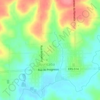
Name: Parque historico em frente ao hospital de ajuricaba topographic map, elevation, terrain.
Average elevation: 339 m
Minimum elevation: 306 m
Maximum elevation: 391 m