
Ma Ram topographic map
Interactive map
Click on the map to display elevation.
About this map
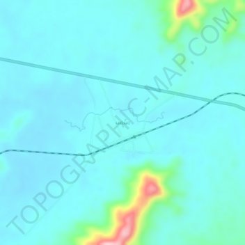
Name: Ma Ram topographic map, elevation, terrain.
Location: Ma Ram, Mohnyin District, Kachin, Myanmar (25.32504 97.06218 25.36504 97.10218)
Average elevation: 159 m
Minimum elevation: 132 m
Maximum elevation: 336 m