
Negra topographic map
Interactive map
Click on the map to display elevation.
About this map
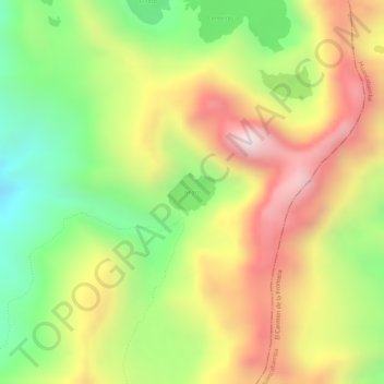
Name: Negra topographic map, elevation, terrain.
Location: Negra, Pacaipampa, Ayabaca, Piura, Perú (-5.06087 -79.48838 -5.05814 -79.48499)
Average elevation: 3,627 m
Minimum elevation: 3,328 m
Maximum elevation: 3,910 m